Skip to content
Menu
Backcountry Fever
  • Home Preview
  • Projects
    • Adirondack 46ers
    • Colorado 14ers
    • Seven Summits
      • Climb Aconcagua via the 360° Traverse | Full Guide
    • Wasatch 7
    • Wasatch 11ers
  • Highpoints
  • Experience
  • My Never-Ending List
  • Contact
Backcountry Fever
← Is Our Gear Really Poising Us Too?
The Only Thing Not Cool about KÜHL →

Senderismo a La Cruz de Alajuelita: Ruta Rompe Pechos

Posted on November 13, 2024November 21, 2024 by Backcountry Fever

Hiking to the Cross of Alajuelita was added to my list back in 2019.  At that time, the company I work for had moved their development team to a new office in Escazú and sent me down to see it.  One morning, before another busy day got started, I wandered up to the radio towers that can be seen on the ridge behind this canton.  When I returned, someone asked “do you know about La Cruz de Alajuelita?”  That’s all it took!

Now work needed me to go there again.  I traveled alone since my wife opted out from spending the week in their wettest season.  I could understand.  The weather would be nothing like it was for us in January …and with everything else we had planned to do then, it wasn’t possible to squeeze this hike in too.

Ok, no problem.  I extended this trip by a few days to knock off these random things only I wanted to do.  Seeing this cross was my first order of non-business business with two of my Costa Rican co-workers who joined me, one of which lives right there in Alajuelita.

Omar and I grabbed an Uber in Alajuela and left early enough to beat the nasty traffic that heads into San Jose.  I don’t know how those commuters do it every day.  Their traffic is 10x worse than L.A.!

After getting dropped off in Alajuelita, Sergio’s wife drove us up the hill to where I thought the trail started.  Turned out to be our exit point since my request was to hike this loop in a counter-clockwise direction.  Easy fix.  We walked down the road a kilometer (.6 miles) and found the actual “trailhead”.
Rio Agres Trailhead

The beginning of this trail starts immediate after the bridge that goes over the Agres River.
Spoiler alert: it is the only time you will cross this river and remain dry.
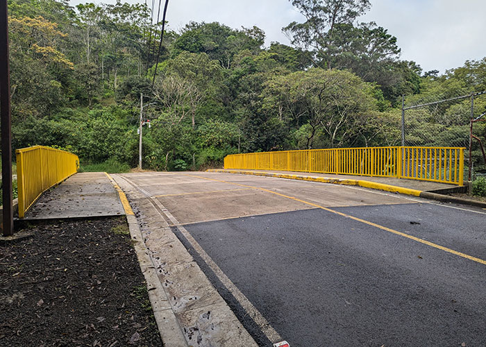
If you are driving your own car, this is a good place to start since ample parking can be found here (although we saw no other vehicles there last Wednesday morning).
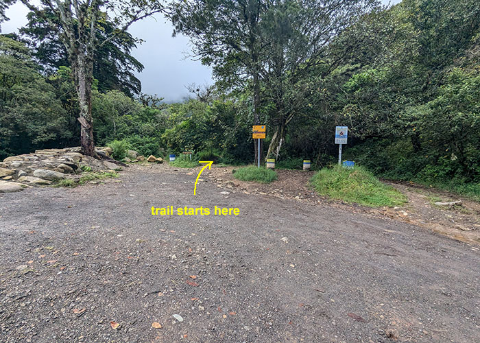
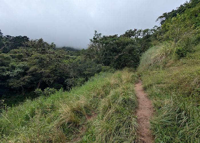
The first part of the trail is easy as it gradually heads up into the clouds.
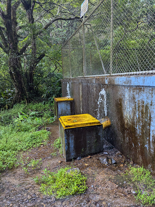
Within a 1/2 km from the trailhead (.3 miles), you will find this tank collecting water from the river.
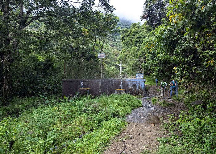
I saw a YouTube video of someone saying you can drink from these fountains.  We weren’t even 20 minutes into this hike, so our bottles were still full.  Not sure I would have taken that chance anyway…
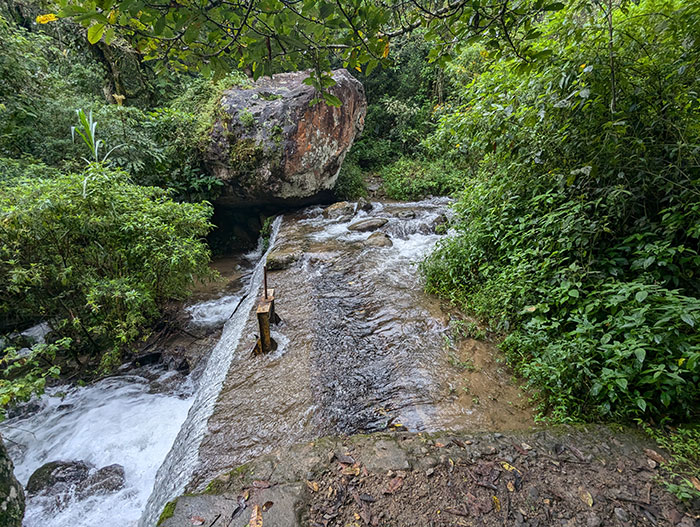
It is here, above the water tank, that you will find your first river crossing.
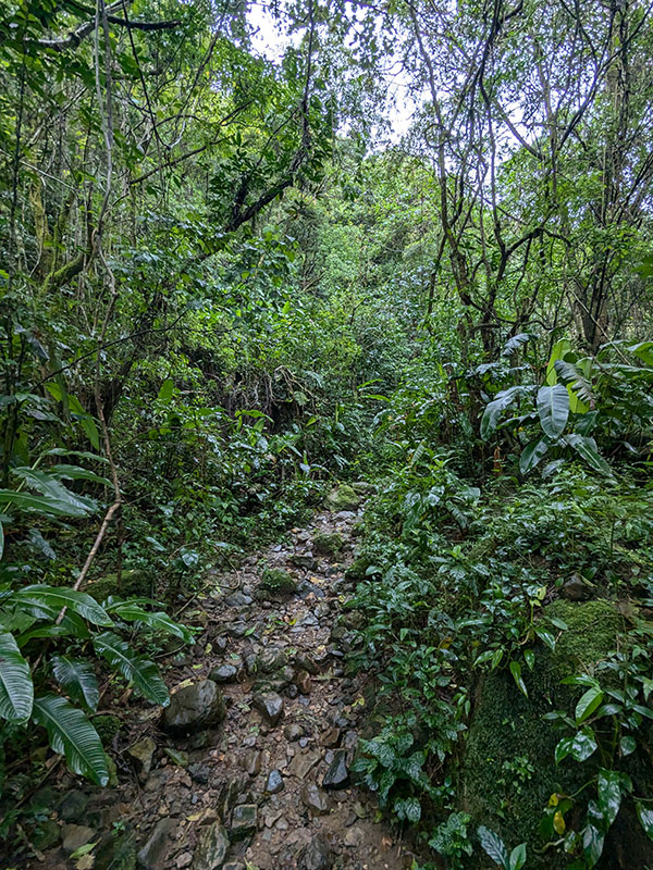
The trail then turns into somewhat of a jungle hike after that.
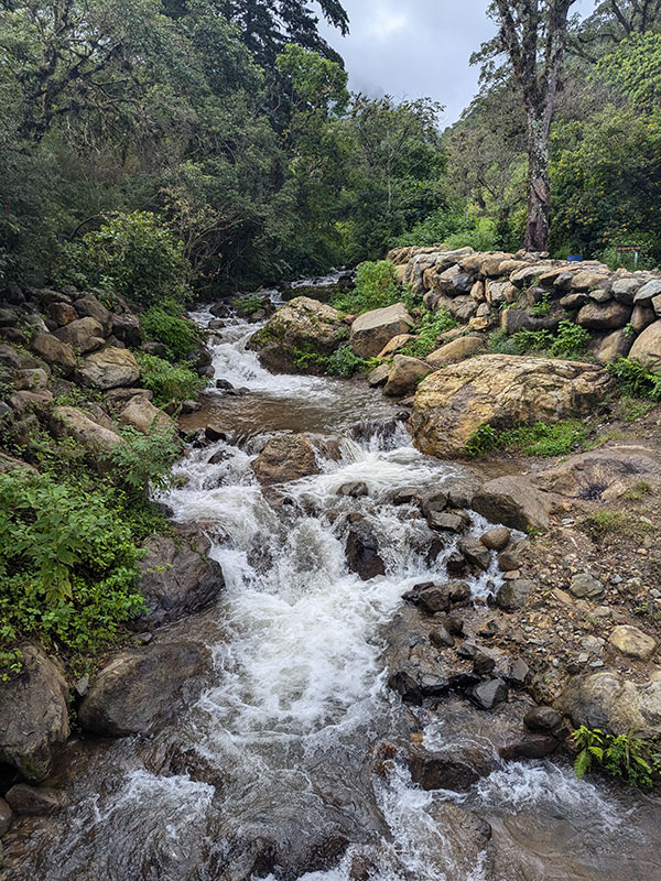
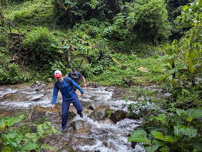
We crossed again…
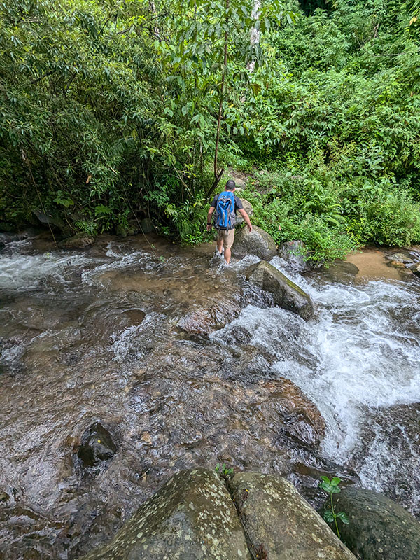
…and again.
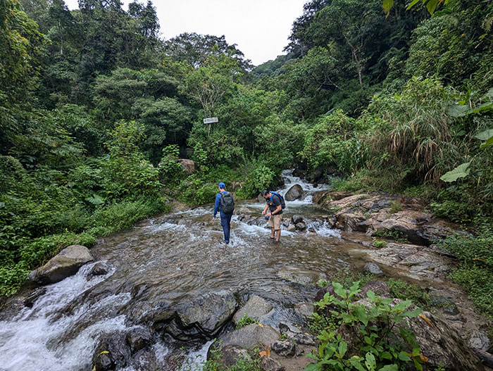
I think we zig-zagged through that river 5 times within the first 3 kilometers (slightly less than 2 miles).
When you reach this log bridge, you might think the route crosses over and continues on.  That may be true based on another route I found after returning home.  However, a local hiker resting there with his dogs told us to go back over and stay along the river’s right side “un poco más”.  So, about a quarter mile.
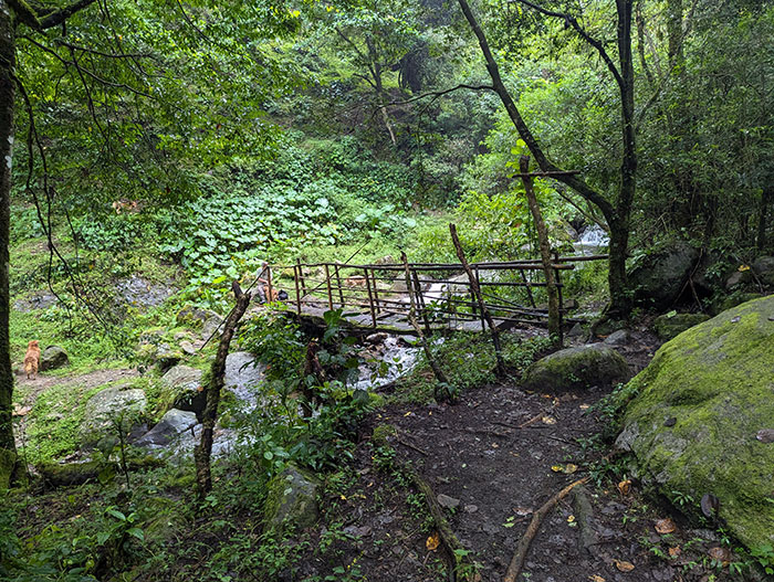
NOTE: there is a hard right immediately south of this bridge, marked by painted arrows.  I’m guessing that goes up towards Pico Blanco.  Ignore the temptation and just follow the river for Rompe Pechos.

After our 5th and final time across Rio Agres, the short climb begins that gives this trail its name.
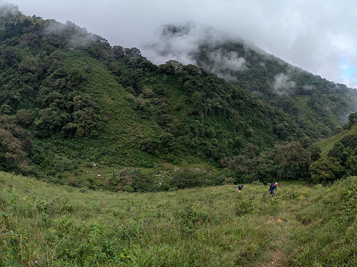
Rompe Pechos Route

The English translation of rompe pecho is “chest breaker”… and this next section of trail definitely got some of our hearts pounding.
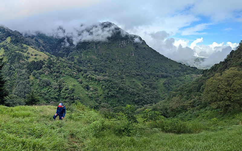
This climb is steady for almost 1 kilometer (1/2 mile)… but you gain over 1,100 feet (about 350 meters) in that short distance.  It’s a good one!
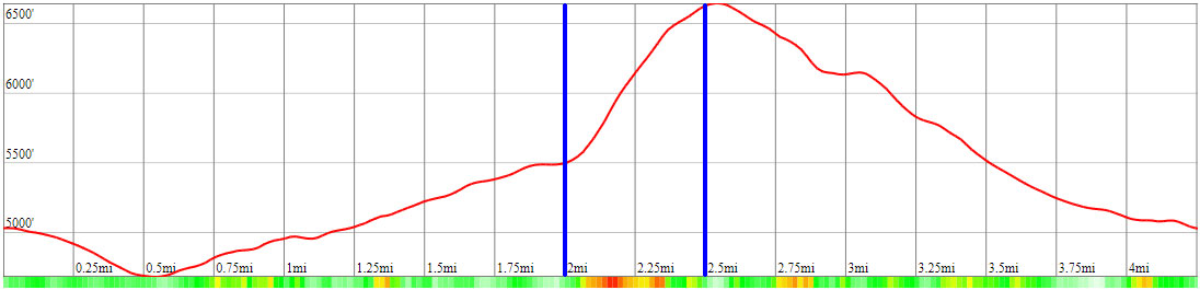
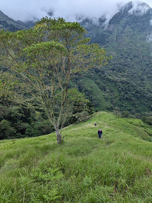
I likened it to a grand staircase up a nice grassy slope.
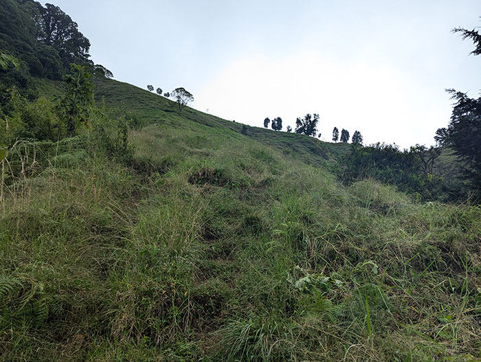
About 2/3rds of the way up this chest breaking climb, the top of the ridge came into view.
By then, clouds were quickly rolling in again… welcome to Costa Rica!
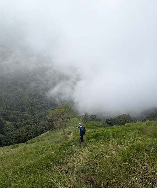
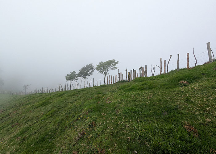
The hardest work is over once you reach the fence that spans the entire length of the ridge.
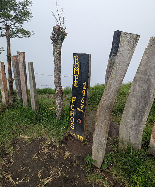
It’s just “un poco más” from here.
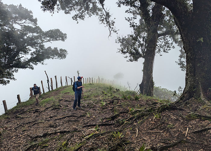
Up into the trees again.
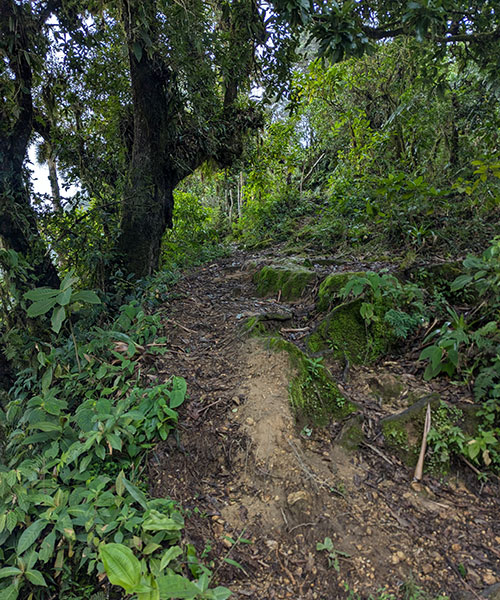
Cruz de Alajuelita

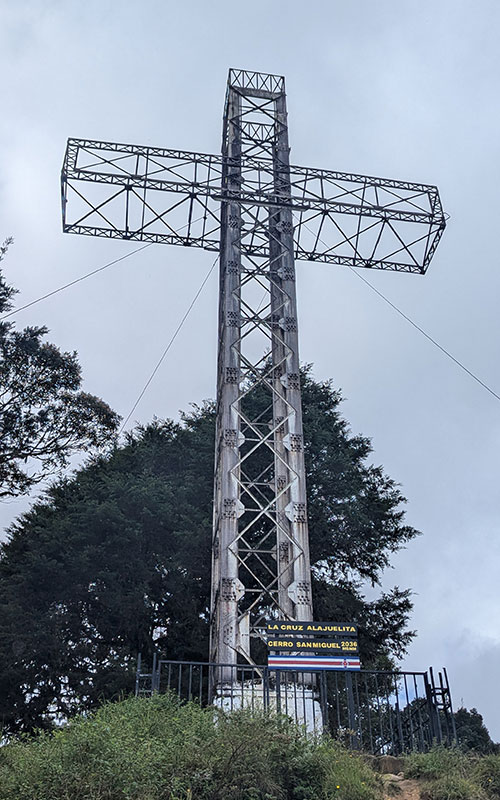
Misty fog added a bit of drama as we approached the cross of Alajuelita from the side.
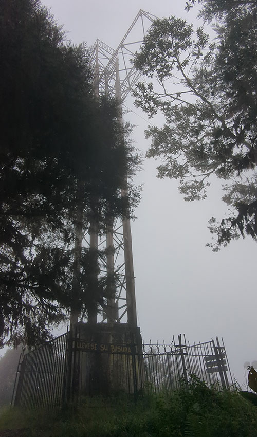
This is pretty easy in comparison to other hikes I’ve done, but super fun nonetheless.
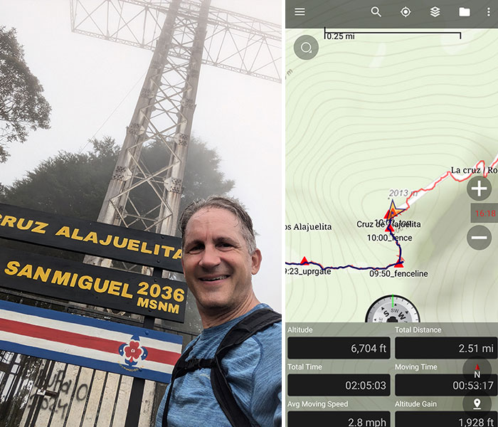
Since there wasn’t much to see with how thick the cloud cover was, we snapped a few pics of what we could and continued our way down.
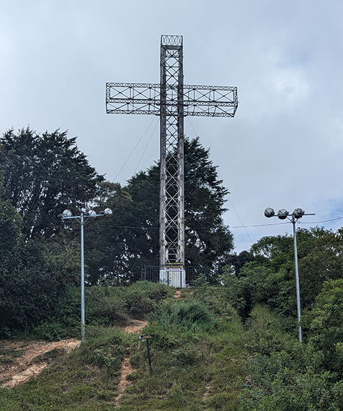
Bajar Cerro San Miguel

We finished the loop by following a very rough and rocky road down from the front of this landmark.
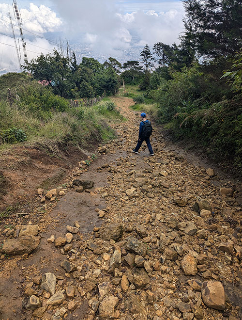
The sky cleared up a bit and started to show the city below.
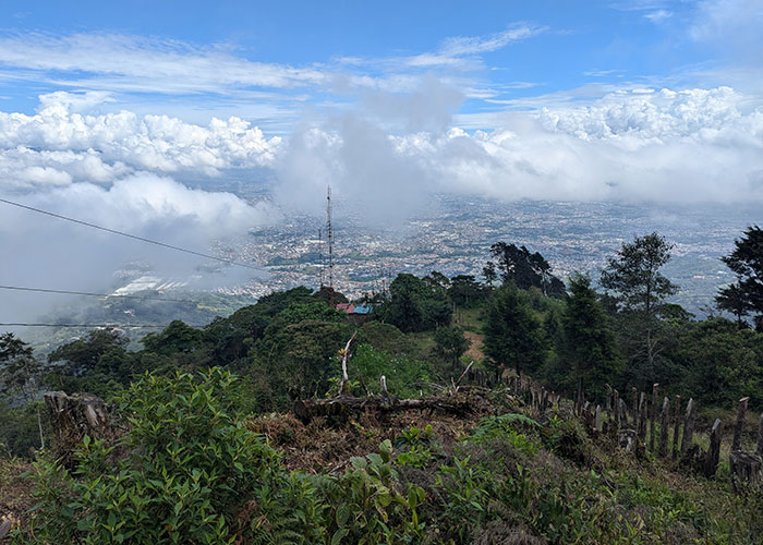
We were so glad to have done this hike counter-clockwise.
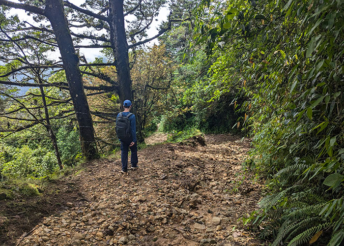
Walking down in this direction was so much more interesting with all these panoramic views.
1.5 kilometers (about a mile) down from Cerro San Miguel is La Cruz Caída de Alajuelita.  Without digging much into the history of this landmark, I read an article that mentions three crosses on the way to Mount San Miguel.  This one being the second along the road, symbolizing a religious order to which the priest of Alajeulita belonged.
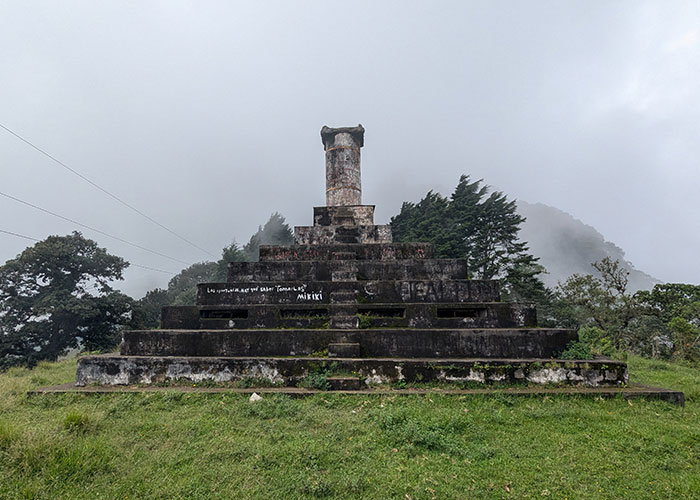
In addition to being a historical monument, La Cruz Caída is also related to a mass crime case that occurred on Palm Sunday in 1986.  The horrific event is known as The Massacre of Alajuelita as described here on Wikipedia.  It is sad to learn how this route, once a popular path of religious pilgrimage, has now become synonymous with death.  I had no idea.

From that point, we had a decision to make: follow the road to the east or continue on the path straight ahead.  The GPX tracks I had led us down in the direction of the trail.
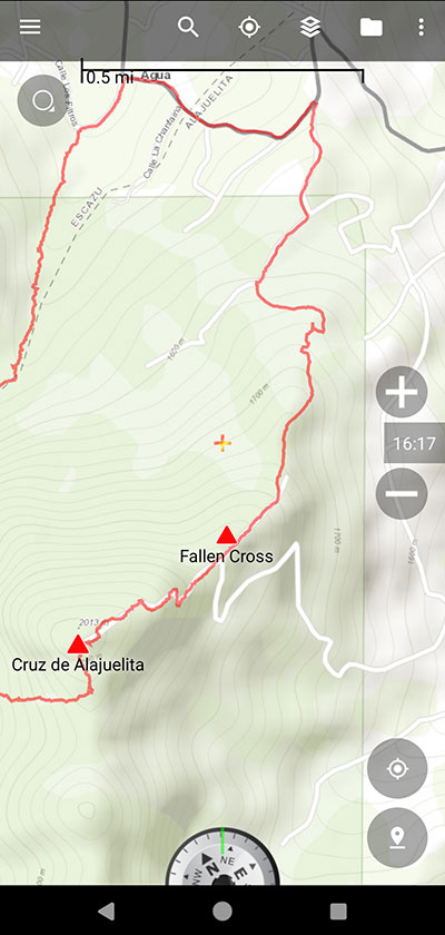
The trail was slippery and became jungle-like again.
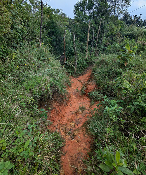
I don’t know if this was the “short cut” those women took when they were attacked, but I’m glad I didn’t know of their story then.
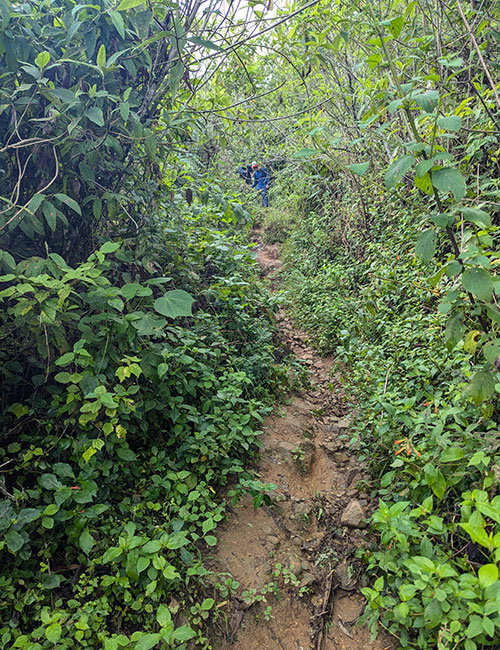
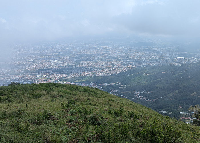
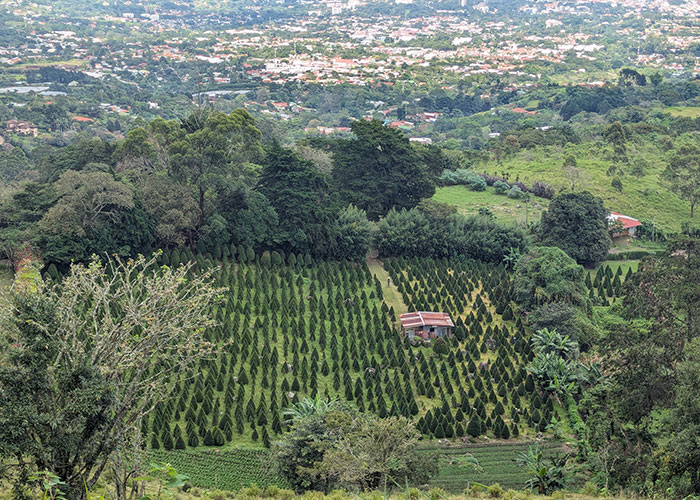
The views got better the lower we got.
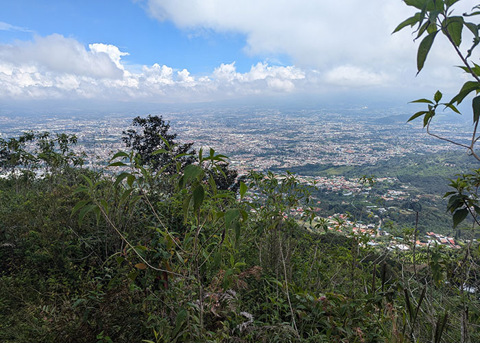
With Christmas right around the corner, it was cool to see this tree farm from above.
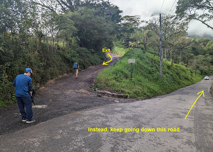
The trail then meets up with the road we initially started on that morning.
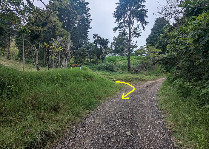
Following the direction of my arrow shows above, we ended up back to where we began.
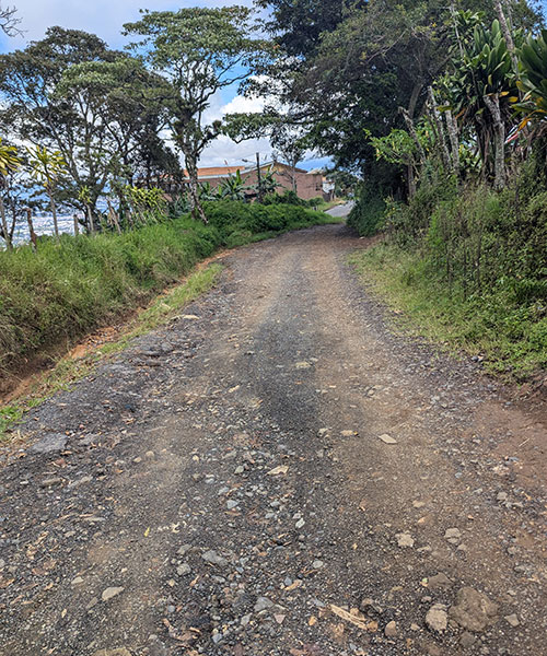
Referring again to this other route I found later, it looks like we could have still made our hike a loop by staying on this road but not turning up on that trail we just came down from.

Below is a map of our tracks.  The source of this route for me was downloaded from here.  If you don’t want explore this route alone, I found a group called Ticos A Pata that might be able to help you out.

With Cruz de Alajuelita checked off the list, Pico Blanco has now been added.

 

← Is Our Gear Really Poising Us Too?
The Only Thing Not Cool about KÜHL →

Leave a Reply Cancel reply

Your email address will not be published. Required fields are marked *

I really wanted to do the loop, so I took another shot at Kessler, this time from the Relsek Trail. Let me tell ya, 2,000 feet of elevation in that 1-mile stretch from road to ridge is a real thigh-burner! 🥵

I also much rather liked climbing UP the gully to the summit, rather than the thought of going DOWN it (the part I didn`t want to tackle by myself last week).

As always, it felt rewarding to get it done and now I can say I`ve closed the loop on this one! 🥾⛰️

#kesslerpeak #relsektrail #loophike #wasatchmountains #legday

22 1
Open post by backcountryfever with ID 18093421613420388
I really wanted to do the loop, so I took another shot at Kessler, this time from the Relsek Trail.  Let me tell ya, 2,000 feet of elevation in that 1-mile stretch from road to ridge is a real thigh-burner! 🥵

I also much rather liked climbing UP the gully to the summit, rather than the thought of going DOWN it (the part I didn't want to tackle by myself last week).

As always, it felt rewarding to get it done and now I can say I've closed the loop on this one! 🥾⛰️

#kesslerpeak #relsektrail #loophike #wasatchmountains #legday

Today`s sufferfest on Kessler Peak!

I wanted to do the loop, but when I considered the options down off the south ridge, I decided not to try that alone. Same with the mine I saw up there... not sure if that`s the same one I`ve seen others inside a tunnel?

Still a good time after not being out in a while.

#kesslerpeak #kesslerpealtrail #wasatchfront #sufferfest #legday

20 1
Open post by backcountryfever with ID 17960032346983601
Today's sufferfest on Kessler Peak!

I wanted to do the loop, but when I considered the options down off the south ridge, I decided not to try that alone.  Same with the mine I saw up there... not sure if that's the same one I've seen others inside a tunnel? 

Still a good time after not being out in a while.

#kesslerpeak #kesslerpealtrail #wasatchfront #sufferfest #legday

I struck out on Leatherman in 2024, and added that to my list of unfinished business. With the help of some adventurous friends, we dropped it in the bag. The last 2,000 feet was grueling, but so worth it now that we`re done. Thanks Andee, Greg and Dave 👊 I wouldn`t have made it without you!

#leathermanpeak #hikeidaho #lostriverrange #peakbagging #peakbagger

23 0
Open post by backcountryfever with ID 18446485450137775
I struck out on Leatherman in 2024, and added that to my list of unfinished business.  With the help of some adventurous friends, we dropped it in the bag.  The last 2,000 feet was grueling, but so worth it now that we're done. Thanks Andee, Greg and Dave 👊 I wouldn't have made it without you!

#leathermanpeak #hikeidaho #lostriverrange #peakbagging #peakbagger

Couldn`t have asked for a better day to climb Mount Adams. The conditions today (6/4) were absolutely perfect!

These 6 miles were waaaay different from the last six I did in LA. This 6-mile climb to the summit packed in 6,700 feet of elevation and took 6 hours 45 minutes (one-way).

#mtadams #mountadams #pnw #mountaineering #legday

45 4
Open post by backcountryfever with ID 17988770517003932
Couldn't have asked for a better day to climb Mount Adams. The conditions today (6/4) were absolutely perfect!

These 6 miles were waaaay different from the last six I did in LA. This 6-mile climb to the summit packed in 6,700 feet of elevation and took 6 hours 45 minutes (one-way).

#mtadams #mountadams #pnw #mountaineering #legday

Spent the weekend in California for a wedding and managed to squeeze in a quick hike, L.A.-style.

After reaching Mount Lee behind the Hollywood Sign, I couldn`t resist tagging two other peaks along the Aileen Getty Ridge Trail: Cahuenga Peak, the highest point in Griffith Park, and Burbank Peak, home to the famous Wisdom Tree.

The hike came in at 6 miles with just 1,000 feet of elevation gain and took only 2 hours.

#hollywoodsign #cahuengapeak #burbankpeak #aileengettyridgetrail #hikela

19 0
Open post by backcountryfever with ID 17874758856610450
Spent the weekend in California for a wedding and managed to squeeze in a quick hike, L.A.-style.

After reaching Mount Lee behind the Hollywood Sign, I couldn't resist tagging two other peaks along the Aileen Getty Ridge Trail: Cahuenga Peak, the highest point in Griffith Park, and Burbank Peak, home to the famous Wisdom Tree.

The hike came in at 6 miles with just 1,000 feet of elevation gain and took only 2 hours.

#hollywoodsign #cahuengapeak #burbankpeak #aileengettyridgetrail #hikela

Still chasing snow! Took my brother-in-law on his first-ever mountaineering experience. We went up Temple Couloir, over to Deseret Peak, and then slid down West Twin Couloir. Hard to beat spring days like this.

This was my 6th summit of Deseret Peak.

#deseretpeak #templecouloir #twincouloirs #mountaineering #chasingsnow

46 4
Open post by backcountryfever with ID 17898155133454122
Still chasing snow! Took my brother-in-law on his first-ever mountaineering experience. We went up Temple Couloir, over to Deseret Peak, and then slid down West Twin Couloir.  Hard to beat spring days like this.

This was my 6th summit of Deseret Peak.

#deseretpeak #templecouloir #twincouloirs #mountaineering #chasingsnow

One of my favorite things to do between ski season and hiking season: kicking steps up a steep slope toward some snow-capped summit!

#mountaineering #kickingsteps #steepslope #snowcapped #summitday

33 4
Open post by backcountryfever with ID 17939009859229790
One of my favorite things to do between ski season and hiking season: kicking steps up a steep slope toward some snow-capped summit!

#mountaineering #kickingsteps #steepslope #snowcapped #summitday

Another moderate day of mountaineering up the north slope of Mt. Superior, known as Cardiac Bowl. I`ve only been to this peak once before, from the typical summer trail, so it was way fun to get there from this direction.

#mountsuperior #northslope #cardiacbowl #mountaineering #wasatch11ers

32 0
Open post by backcountryfever with ID 18131016616566455
Another moderate day of mountaineering up the north slope of Mt. Superior, known as Cardiac Bowl.  I've only been to this peak once before, from the typical summer trail, so it was way fun to get there from this direction.

#mountsuperior #northslope #cardiacbowl #mountaineering #wasatch11ers

With such good coverage and a big storm rolling in, I think Alta should stay open for at least another week!

#stillskiing #springskiing #skiutah #skiing #alta

15 0
Open post by backcountryfever with ID 18013199525845115
With such good coverage and a big storm rolling in, I think Alta should stay open for at least another week! 

#stillskiing #springskiing #skiutah #skiing #alta
Follow on Instagram

Recent Posts

  • Adventuring Alone on Adams
  • A Road Trip to Trout Lake
  • The Interview That Made Me Reconsider Hydrogen Water
  • After a Year with the COROS Vertix 2S
  • 5 Million Vertical Feet Gained Over 5 Years

Recent Comments

  • Kirsto on How I Would Do Kings Peak in 1 Day
  • Backcountry Fever on Solo Summit of Shasta
  • Michelle Tirhi on Solo Summit of Shasta
  • Matt on How I Would Do Kings Peak in 1 Day
  • Rich Meziere on Bummed Out By A Broken BOA Binding

RECOMMENDED READING

Categories

  • 14ers
  • Adventure Plans
  • Avalanche Awareness
  • Backpacking
  • Epic Treks
  • Grand Canyon
  • Health & Wellness
  • International Expeditions
  • Mountaineering
  • New England
  • Pacific Northwest
  • Peak Bagging
  • Product Feedback
  • Reading References
  • Road Trip
  • Scrambling
  • Season Summary
  • Seven Summits
  • Six-Pack Challenge
  • Snowshoeing
  • Social Media
  • State Highpoints
  • Technology
  • Uinta Mountains
  • Uncategorized
  • Uphill Training
  • Wasatch Front
  • Zion
©2026 Backcountry Fever