After the quick visit to Campbell Hill, my wife and I continued on to New York, where her brother Paul would join me for the remainder of this set of state highpoints. Our first objective was Mount Frissell.
For Connecticut, the high point is something you have to find, rather than summit.
A Trail of Running Water
We started out with a nice breakfast at Mom’s Country Cafe in South Egremont. From there, we made our way south to the Mount Frissell trailhead, only to find water flowing down the trail like a stream.
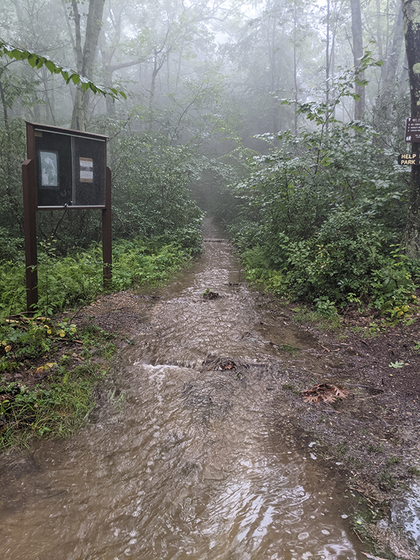
It was coming down so hard that the trail was pooling up in places…
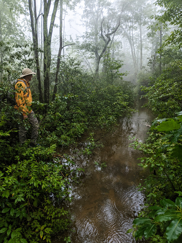
…and any change in elevation created a small waterfall.
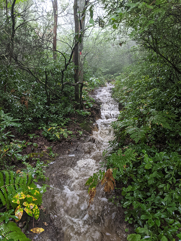
There was no point in saving our shoes or trying to stay dry. So I rolled up my pants and accepted the fact that we were going to get soaked.
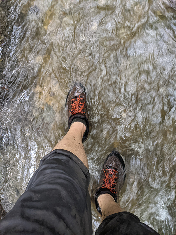
We pressed on, following red blaze markings for about a half mile to the top of Round Mountain…
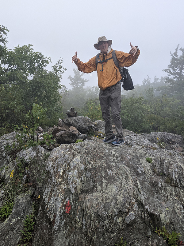
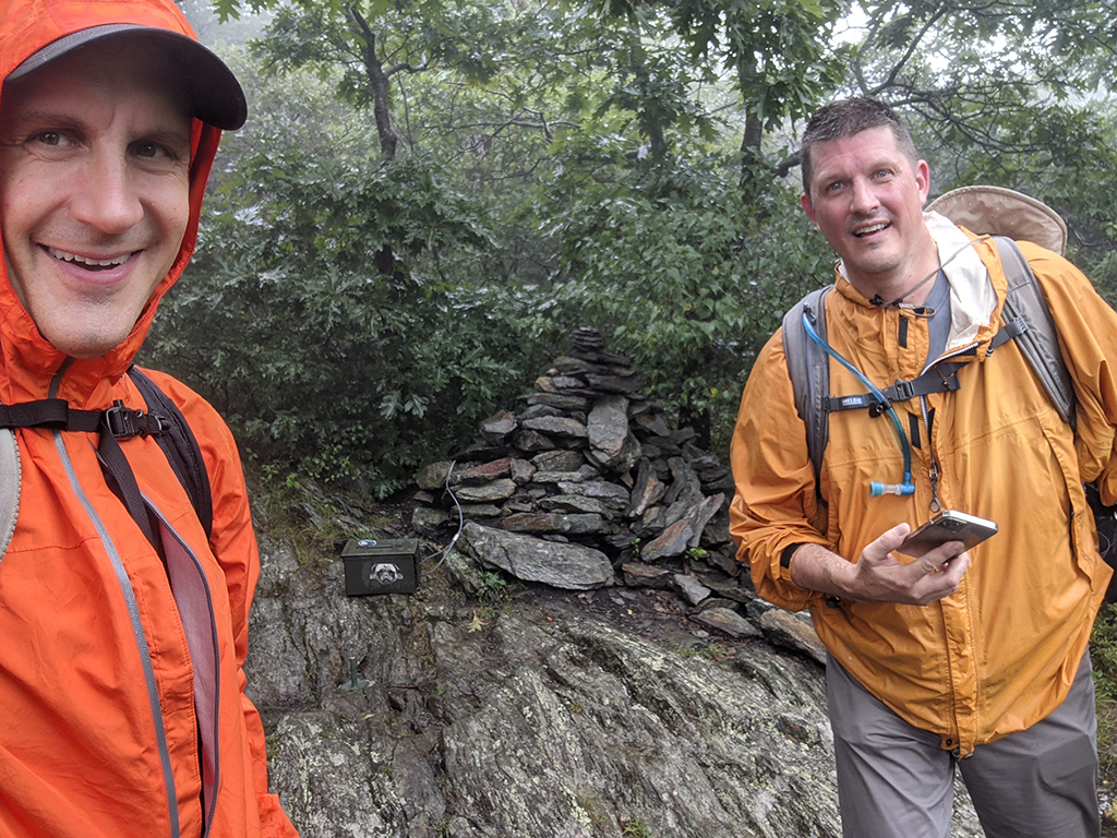
…and another half-mile to the top of Mount Frissell, which isn’t actually the high point. I also found it unusual to stand on a summit without a view. That was a first for me.
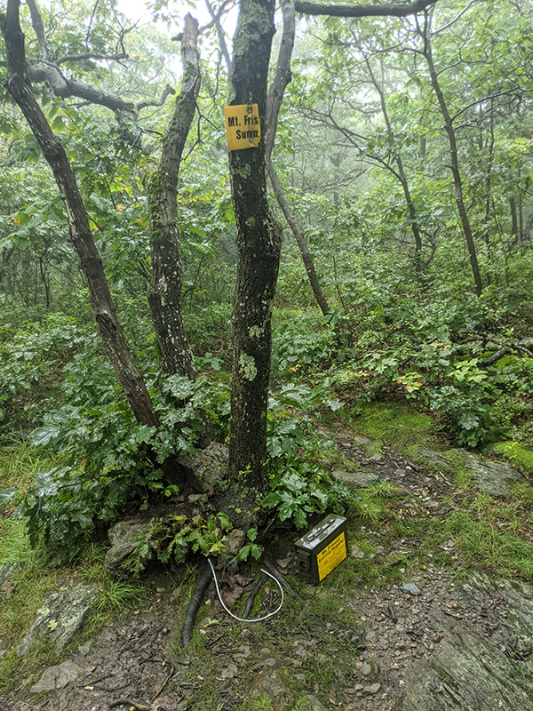
Adding to its uniqueness, Connecticut’s highest point is found on the side of this mountain, less than a quarter mile down from the summit.
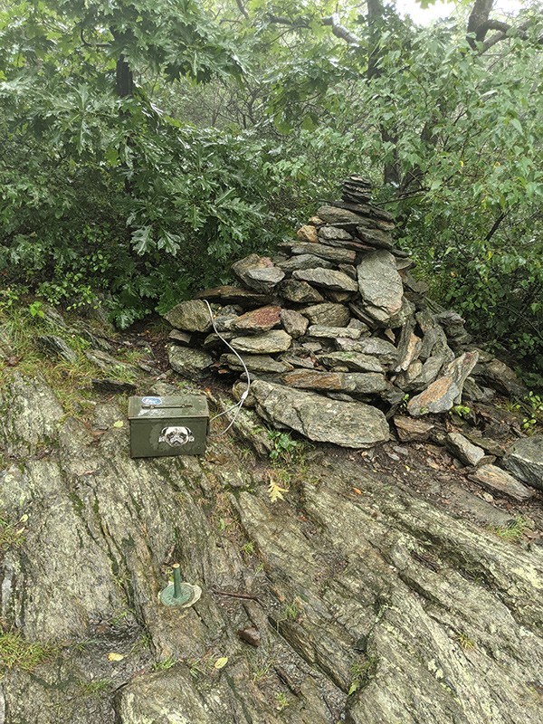
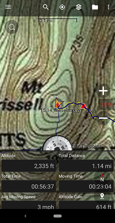
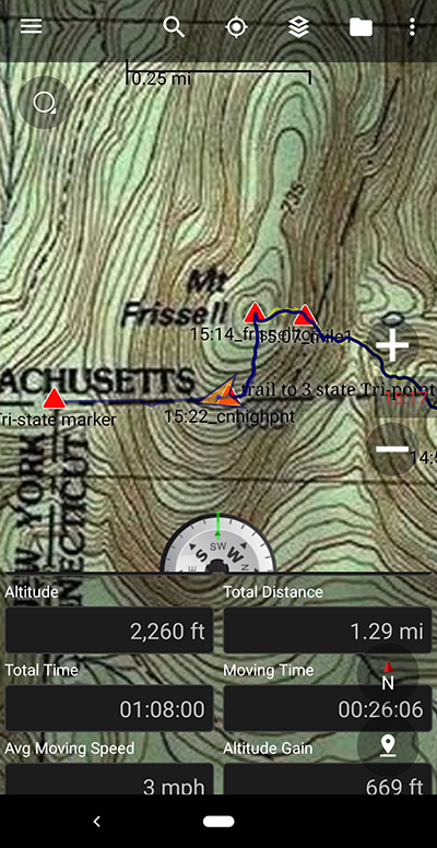
A quick check of my GPS showed just 1.3 miles and 600 feet of elevation. It had only taken us an hour.
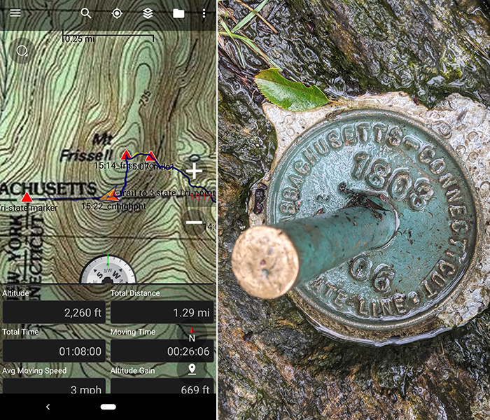
It would have been a pretty uneventful day if it hadn’t been for the trail turning into a waterway.
Tri-State Marker
Since the drive to get here took longer than the hike, we went the extra quarter-mile to see the tri-state marker for Connecticut, Massachusetts, and New York. Interesting, but nothing too exciting.
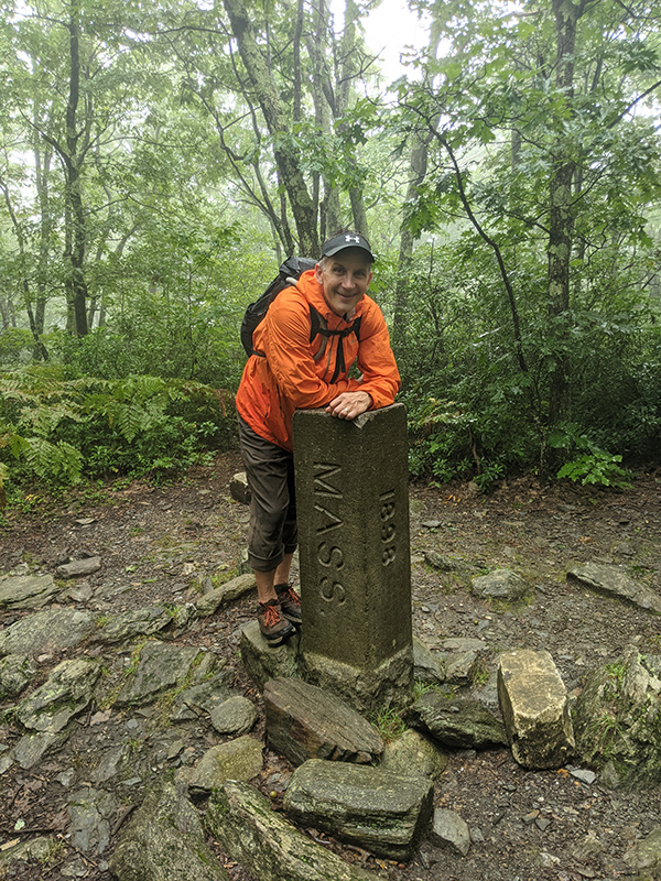
If there was a state highpoint to hike in lousy weather, I guess this would be it. I’m not sure there would have been much to see even if the sky had been clear.
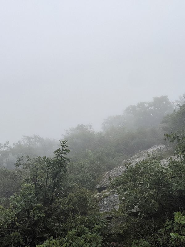
The hike back to the car remained a soggy stroll through the woods.
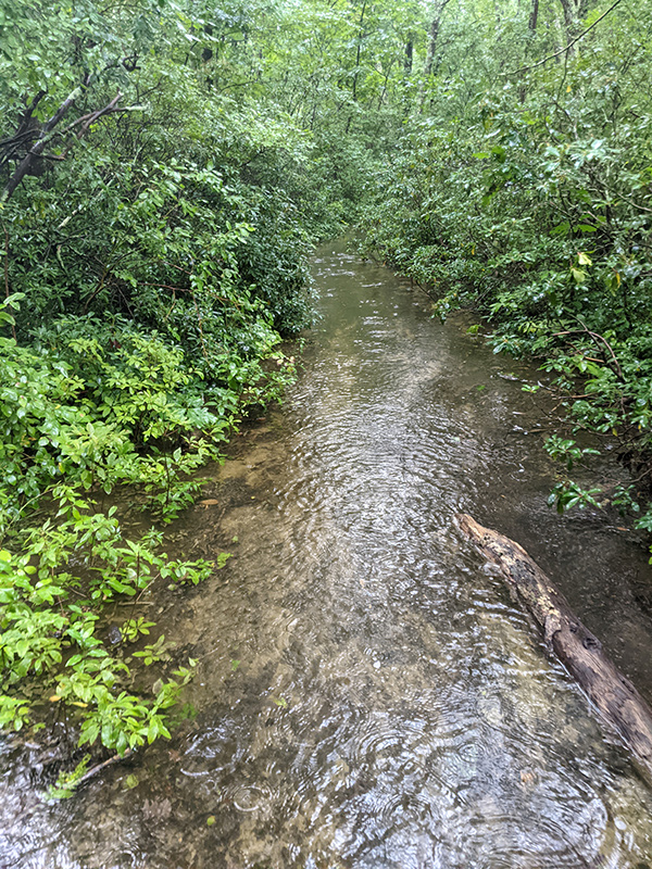
Now we just had to figure out how to dry our shoes in time for Mount Greylock tomorrow.