DAY 3: Backpack to Iceberg Lake, Set up camp
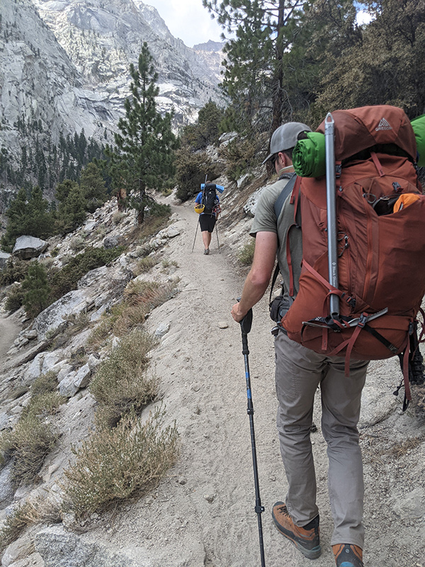
After breakfast, we packed up, checked out, and headed for the Whitney Portal Trailhead, knowing we had roughly 4 miles and 4,000 feet of climbing to reach Iceberg Lake and get camp set up before dark.
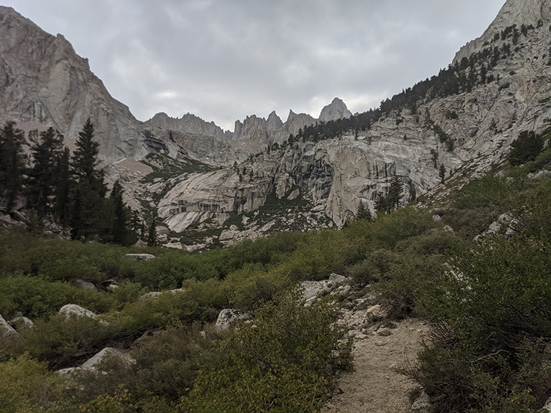
The first mile follows the main Whitney Trail before splitting off at the North Fork of Lone Pine Creek.
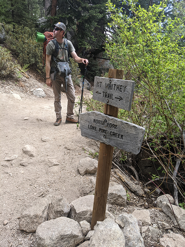
This is the beginning of the Mountaineer’s Route, as the trail climbs up through the pine forest.
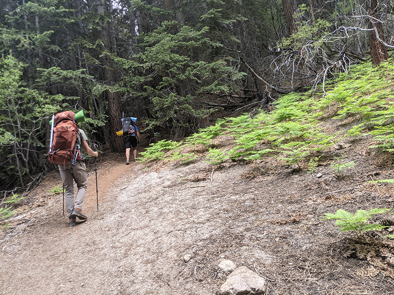
The route continues along the north side of this North Fork drainage.
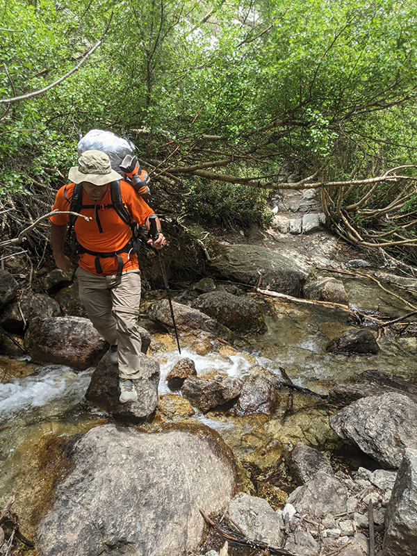
Soon after is the first crossing of Lone Pine Creek.
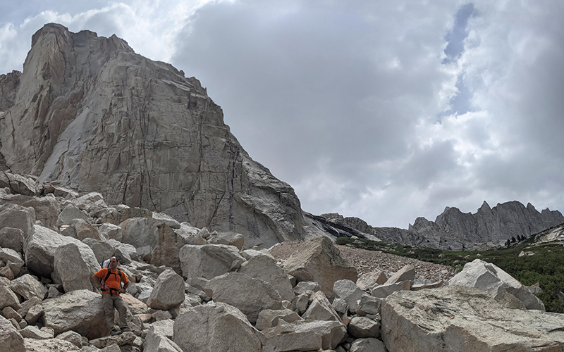
Ebersbacher Ledges
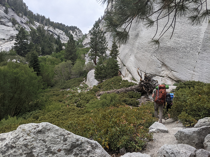
About a mile and a half in, after crossing the creek for the second time, the Mountaineer’s Route climbs up the Ebersbacher Ledges to avoid a nasty bushwhack through thick willows.
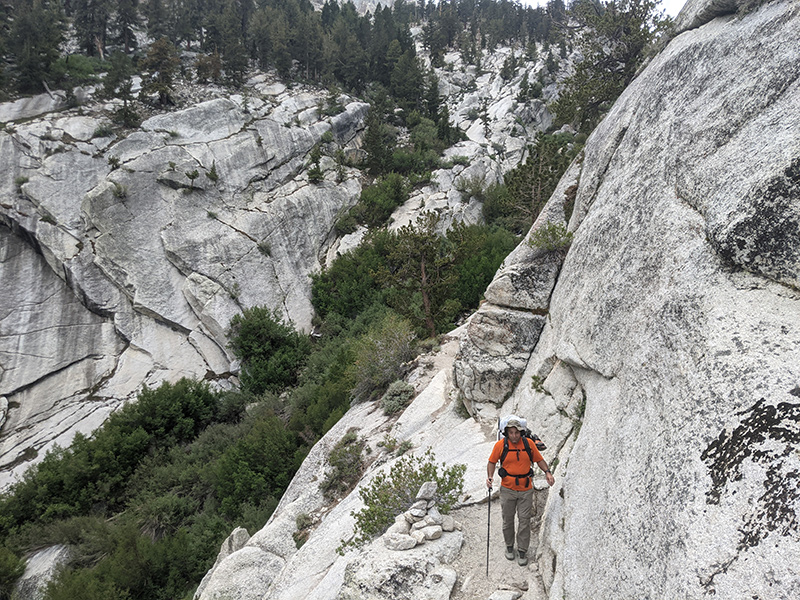
It wasn’t that tough to find a safe way up this granite face — it just took a bit of common sense.

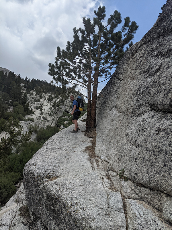
When the zig-zag up E-Ledges is over, the route skirts the edge of another stretch of willows.
The hike wasn’t terrible, but dark clouds were slowly rolling in, turning the sky grey.
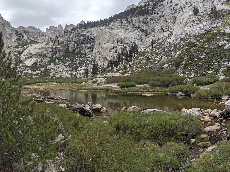
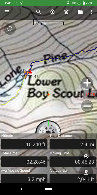
Lower Boy Scout Lake
Around the two and a half mile mark, we reached Lower Boy Scout Lake at 10,200 feet.
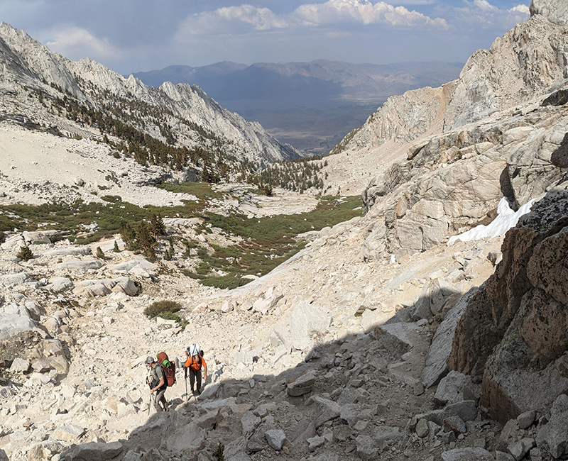
Things got a lot more interesting as the trail became a jumble of massive boulders.
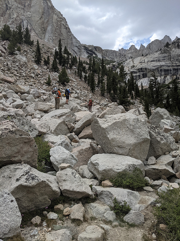
Here’s looking back at Lower Boy Scout Lake as we approach 11,000 feet.
Heavy packs made progress slow at this point.
Pressing on, Lone Pine Creek flowed over those granite slabs like strands of a giant natural waterslide. Getting over there was a bit tricky as we picked our way through a tangle of thick willows.
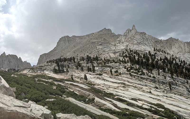
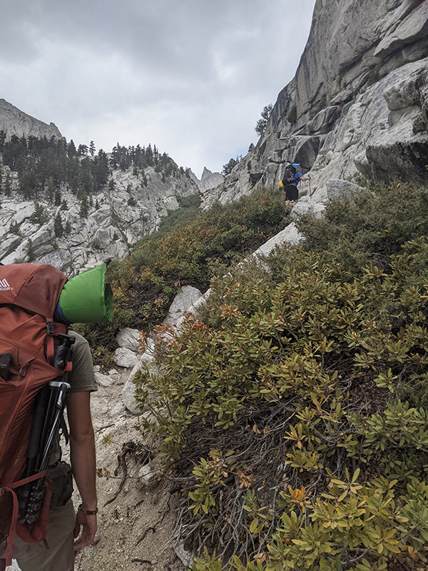
More willow brush to navigate through Clyde Meadow. Thankfully, the worst of it was behind us.
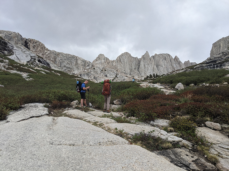
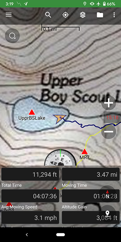
Upper Boy Scout Lake
By the time we arrived at Upper Boy Scout Lake, we’d covered three and a half miles, climbed 3,000 feet, and spent four solid hours getting there. This was a good place to take a break.
When the clouds gave way to sunshine, it felt like the weather was turning in our favor.
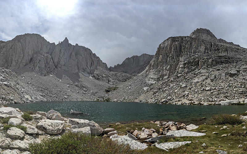
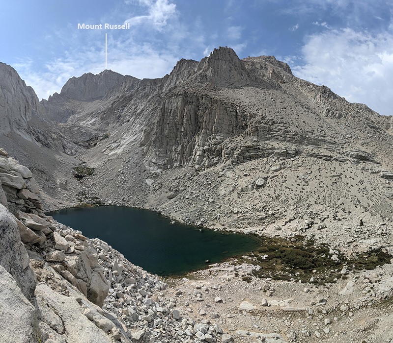
From 11,500 feet, we had a great view of Upper Boy Scout Lake, with Mount Russell off in the distance.
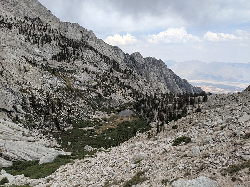
Climbing through the moraine just below the summit block was pretty awesome too.
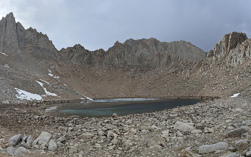
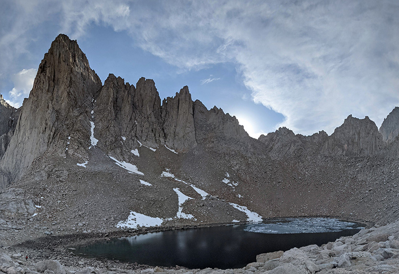
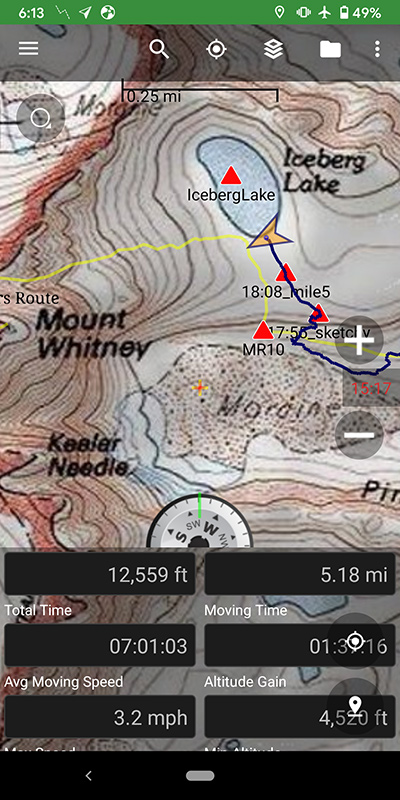
Iceberg Lake
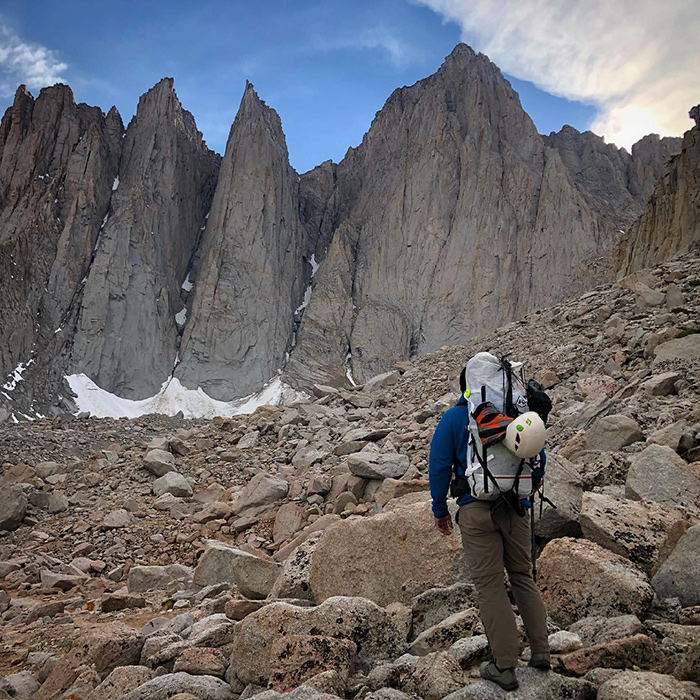
After 5 miles and 4,500 feet of climbing, we finally made it to Iceberg Lake. It had taken us 7 hours and all felt strong but one. Jake came into this trip not feeling great after his time in Alaska the week before and wasn’t acclimating well. He and Jordan decided to hang back in the moraine while Oliver and I set up camp closer to the lake. The weather also couldn’t decide what it wanted to do, which didn’t help.
Our route was now clearly in view — and sadly, without much snow on it.
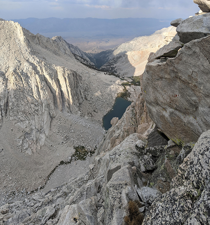
I wandered around for a bit, taking in another view of Upper Boy Scout Lake and the canyon we’d just come up from. We were ready to call it a day, already looking forward to what tomorrow would bring.
By nightfall, the skies had cleared and all felt calm as I drifted off into la-la land.
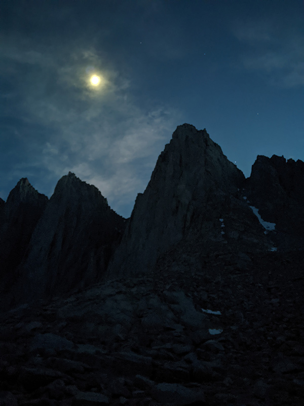
That calm didn’t last long. Shortly after midnight, we were awakened by pounding rain, booming thunder and blinding lightning. It felt close — really close! As I stepped out to use the bathroom, I watched the light show for a minute and couldn’t help but wonder how this might impact tomorrow.
